Walking in Rhode Island
Paseando Por Rhode Island
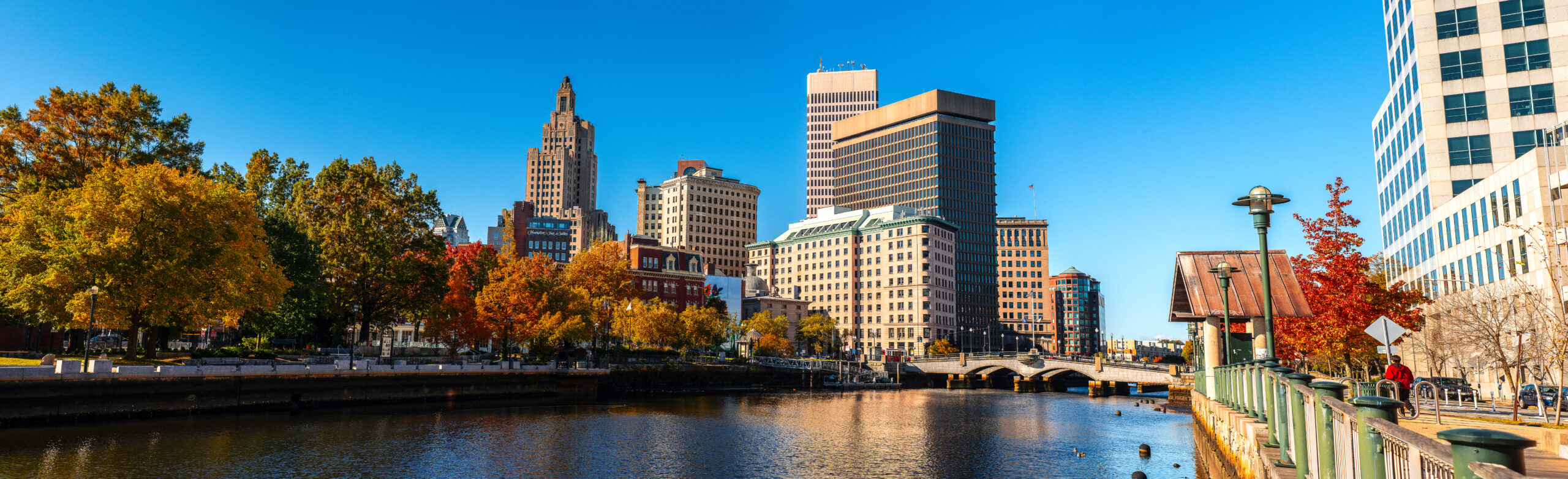
Providence, Rhode Island, has been ranked the second most walkable city to visit in America for three consecutive years by USA Today 10Best readers. John Kostrzewa, a retired reporter and editor from The Providence Journal, highlights two notable walking trails in his book, “Walking Rhode Island: 40 Hikes for Nature and History Lovers.” The first trail is Neutaconkanut Hill, which offers a short climb to the city’s highest point with panoramic views of the downtown skyline. The wooded hilltop trails pass near ledges historically used by Native Americans and land once acquired by Providence founder Roger Williams in 1636. The second trail is in Roger Williams Park, a 427-acre park featuring paths around five ponds where walkers can see waterfowl and historic statues. Kostrzewa’s book provides detailed descriptions of each hike’s geology, wildlife, vegetation, and historical landmarks, along with maps and trail tips. Available in softcover and e-book formats, the 262-page book can be purchased on Amazon or ordered through Stillwater River Publications in West Warwick.
Providence, capital de Rhode Island, ha sido reconocida como una de las ciudades más caminables de Estados Unidos, ocupando el segundo lugar en la votación de los lectores de USA Today 10Best por tercer año consecutivo. En este contexto, el autor John Kostrzewa, exreportero y editor de The Providence Journal, publicó el libro “Walking Rhode Island: 40 Hikes for Nature and History Lovers”, que incluye rutas accesibles dentro de la ciudad que combinan ejercicio y paisajes destacados. Entre ellas destaca la caminata a Neutaconkanut Hill, el punto más alto de Providence, que ofrece vistas panorámicas del centro y un recorrido por zonas históricas donde se realizaban ceremonias indígenas. Otra propuesta es el parque Roger Williams, un espacio de 427 acres con senderos alrededor de cinco estanques, ideal para observar aves y esculturas históricas. Cada ruta del libro incluye detalles sobre geología, flora, fauna, historia, mapas y recomendaciones prácticas. La obra de 262 páginas está disponible en formato físico y digital a través de Amazon y distribuidores locales. Kostrzewa continúa promoviendo el senderismo y la historia local mediante sus columnas y publicaciones.
Related News
Noticias relacionadas